Overview
Dr. R.L. Brohier Museum
Being the first department of Sri Lanka, the Survey Dpartment has began at Galle Fort, by a proclamation of the Governor Fedric North dated 2nd August 1800 by the acting secretary to Government William Boyd.
During the first 50 years most of the surveys were to prepare title plans for land sales mainly for tea states. Surveys required for route selection, setting out, acquisition of lands, preparation of contour maps, etc were carried by the Department from 1867 to 1947 for the building up of Railways.
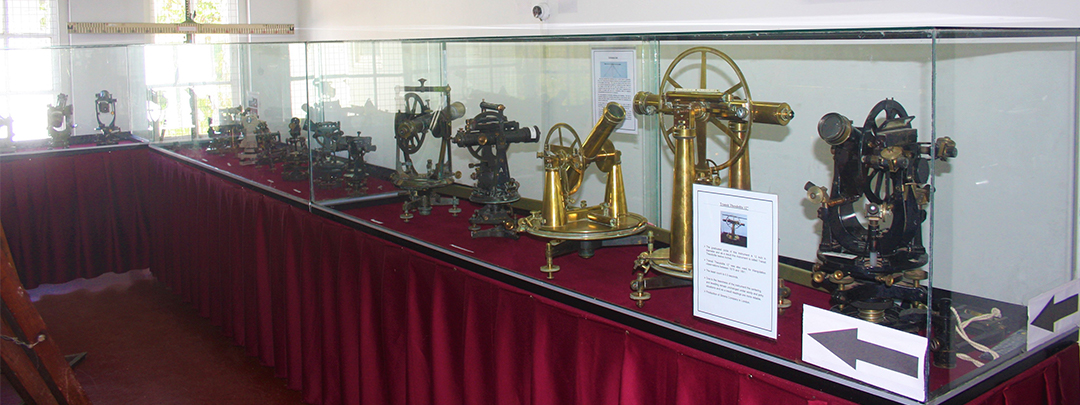
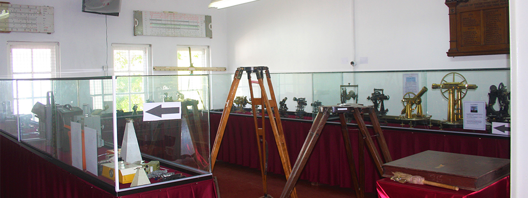
By the end of 19th century the Department was engaged on mainly block Surveys, Trigonometrical Surveys, Topographical Surveys, and other miscellaneous surveys.
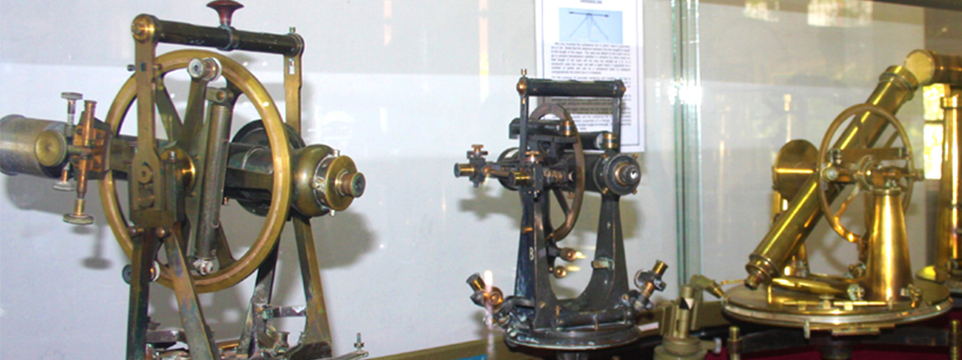
The geodetic survey to establish control frame was started with the principal triangulation in 1857. The topographical mapping started in 1892. Completion of one inch topographical map in 1925 was a greater achievement when compared to then available Technology. The establishment of Geodetic
Levelling net was completed in 1930 commencing from 1909. Also many more surveys had performed under different ordinances. The surveys under mahaweli project were completed without any foreign consultancy. So all those surveys accomplished by the department was useful for the systematic infrastructure
development of the country. The achievement of the department during more than two bicentenaries is a result of the devotion of duty displayed by the staff of the survey department through many hardships.
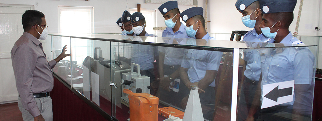
This survey museum is a commemoration for the forefathers of the survey department who devoted their life for public service through survey profession. So i hope that you will visit the survey museum and feel proud about the great performances of our department.
