Be part of this celebration as we honor our past, embrace the present, and look forward to a future of limitless possibilities!

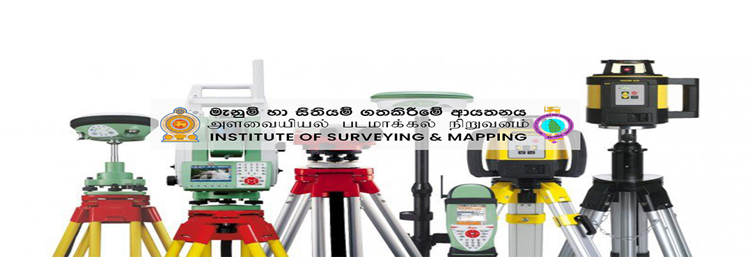
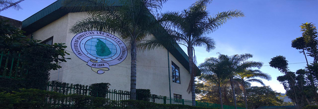
Institute of Surveying & Mapping - Diyatalawa
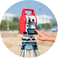
Welcome to the Institute of Surveying & Mapping, Diyatalawa (ISMD). ISMD is the first academic institute in Sri Lanka to award Diplomas and Degrees in Surveying and Mapping-related fields. It offers state-of-the-art facilities and is led by highly qualified, experienced, and skilled professionals. Our programs cover various disciplines, including Geographic Information Systems (GIS), Remote Sensing (RS), Geodesy, and Land Surveying.
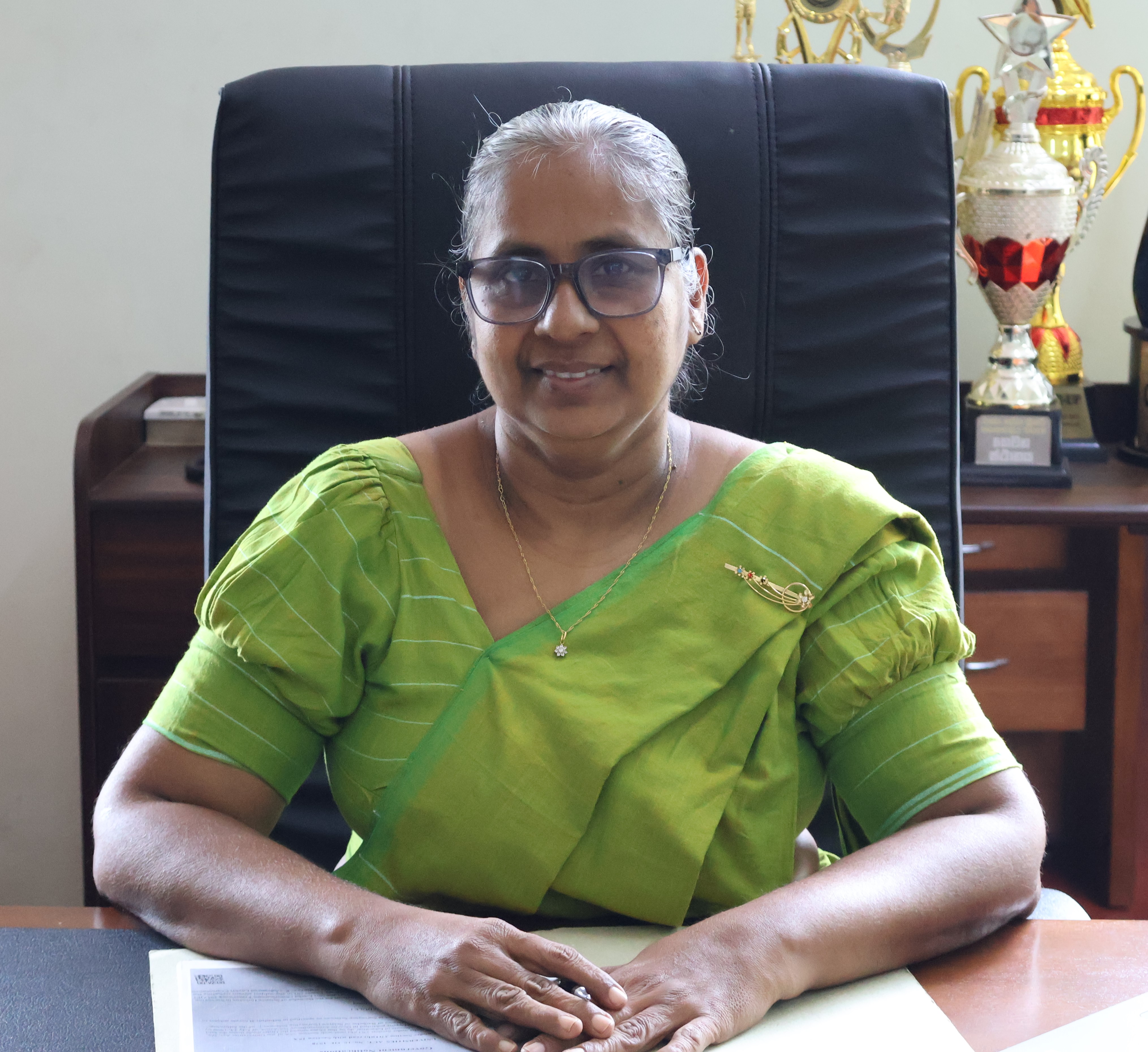 DIRECTOR'S MESSAGE
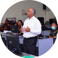
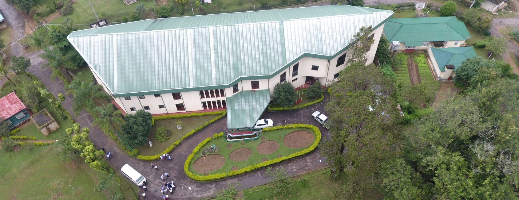
It is with great pride and a deep sense of responsibility that I serve as the 31 st Director of the Institute of Surveying and Mapping (ISM), Diyatalawa. As the academic arm of the Survey Department of Sri Lanka—the oldest government department in Sri Lanka, established in 1800—ISM carries forward a distinguished national legacy in surveying, mapping, and geospatial sciences.
Originally established as the Surveyor General's Training School in Diyatalawa in 1924, the institution was elevated to the Institute of Surveying and Mapping in 1967 to incorporate emerging technologies in surveying and mapping. The formal incorporation of the Institute took place under Parliamentary Act No. 21 of 1969. In 1990, the Ministry of Higher Education recognized ISM as a Degree Awarding Institute. Most recently, the degree conferred by ISM was officially recognized as Bachelor of Science Honours in Surveying Sciences – BSc Hons (Surveying Sciences) . Read more..
Notices
"Short Courses"
The Institute of Surveying & Mapping, Diyatalawa invites applications for the following short-term courses:
These courses are designed to provide foundational knowledge and practical skills for students and professionals interested in the fields of surveying, levelling, and Geographic Information Systems (GIS).
August 04, 2025
"Get Your Custom Maps"
Are you in need of detailed, high-quality maps tailored to your requirements? Our Special Mapping Branch is here to help!
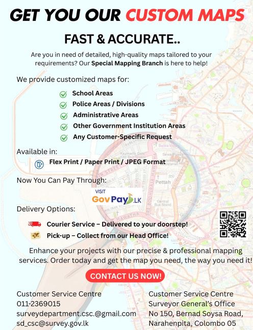
Please do not hesitate to contact our Customer Service Centre. (Tel: 011-2369015)
June 24, 2025

Our Vision
"...To be the focal point in Geo informatics Education, Training and Research in the South Asian Region aiming to produce Professional Expertise..."

Our Mission
"...Planning and conducting training courses relating to Geo-informatics, Updating Educational curriculums, Guidance in developing professional Capacity building and Providing Technical Expertise and consultancy services..."
.png)
Research Repository
The Research Repository of the Institute of Surveying & Mapping (ISMD) serves as a comprehensive digital archive, showcasing scholarly publications, research findings, and academic contributions in the fields of Surveying, Mapping, Geodesy, GIS, and Remote Sensing. It provides an accessible platform for researchers, students, and professionals to explore and contribute to the advancement of geospatial sciences.

The Institute of Surveying & Mapping (ISM), Diyatalawa successfully conducted
a 5-day Training Programme on Surveying & Levelling for participants from PRDA (Southern)
from April 20 to April 24, 2026.

A one-day educational visit organized for the University of Sri Jayewardenepura – Department of Geography
was successfully conducted at the Institute of Surveying & Mapping (ISM), Diyatalawa on February 23, 2026.
from April 20 to April 24, 2026.

A one-day educational visit organized by the Naval & Maritime Academy was successfully
conducted at the Institute of Surveying & Mapping (ISM), Diyatalawa on March 06, 2026.

The Institute of Surveying & Mapping, Diyatalawa successfully hosted an educational visit by the Naval & Maritime Academy, Trincomalee on 08th May 2025.

An educational visit by the Marksmanship
and Sniper Training School, Diyatalawa was successfully conducted at the Institute of Surveying & Mapping, Diyatalawa on 09th May 2025.

One Day Educational Visit of Surveying & Geo informatics Students from Kotelawala Defense university
On May 15, 2025, a group of 69 students from the Surveying & Geo-Informatics Department of Kotelawala Defence University visited the Institute of Surveying & Mapping (ISM), Diyatalawa.

The inauguration ceremony of the Prerequisite Course (PC 02) for Surveying Graduates was held on May 14, 2025, at Lecture Hall B, Institute of Surveying & Mapping (ISM), Diyatalawa.
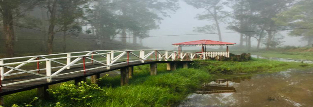
Why us
A land like no other. Get experienced with us.